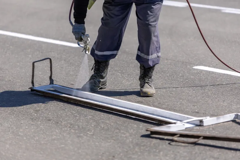
Marked in Paint: The Field Crews Who Stand Between a Routine Dig and a National Disaster
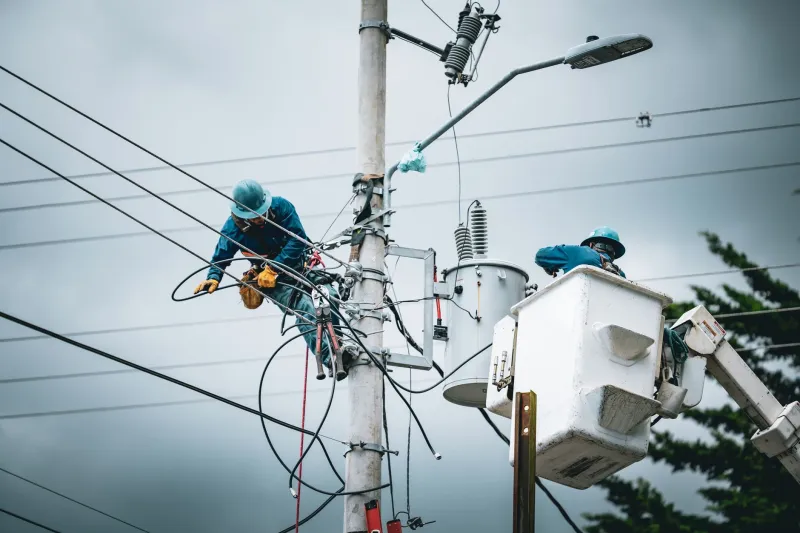
Somewhere in the United States right now, a construction crew is preparing to break ground. A project manager has signed off on the schedule. Equipment operators are running pre-shift checks on their machinery. And somewhere nearby, a utility locator — probably alone, carrying a wand-style electromagnetic detector and a can of spray paint — is walking a grid pattern across that same ground, translating invisible signals from buried infrastructure into colored lines that may be the only thing standing between a productive workday and a catastrophe.
This is the profession that quietly underwrites nearly every excavation project in the country. It is also one of the most systematically underappreciated roles in American field operations.
What the Colors Actually Mean
The American Public Works Association established a standardized color-coding system that governs utility marking across the country. Red marks electric power lines and cables. Yellow signals gas, oil, and other combustible materials. Orange indicates communications infrastructure — fiber, cable, telephone. Blue marks potable water. Green indicates sewer and drainage lines. Pink is reserved for temporary survey markings. White delineates the proposed excavation zone itself.
To an untrained eye, a freshly marked job site looks like abstract art spray-painted across a parking lot or lawn. To a locator, it is a three-dimensional map rendered on a two-dimensional surface — a compressed representation of decades of infrastructure layered beneath the ground, often installed at different eras, by different contractors, with varying degrees of documentation accuracy.
The challenge is that the map is never perfect. Utility records — when they exist at all — can be decades old. Lines shift over time due to soil movement, previous construction, and municipal rerouting. A gas main documented at four feet of depth may now sit at two. A fiber bundle shown on a 1990s-era plat may have been rerouted entirely without updated records. The locator must reconcile what the detector reads against what the paperwork says, and make judgment calls that carry genuine consequence.
The Call Before the Dig
The 811 system — the federally designated "Call Before You Dig" infrastructure — processed more than 38 million locate requests across the United States in a recent reporting year. Every one of those requests triggers a field response. A locator is dispatched, often with a 48- to 72-hour window to complete the work before the requesting contractor is cleared to excavate.
That timeline sounds generous until you factor in the volume. A single locator may be responsible for clearing dozens of tickets per day across a wide service territory. Each ticket represents a distinct location with its own buried complexity. Urban corridors — where telecommunications, electrical, gas, water, and sewer lines can converge in a single narrow right-of-way — require methodical attention that the schedule does not always accommodate easily.
In rural areas, the challenge shifts. Records are sparser. Infrastructure may be older and less standardized. And the distances between tickets can eat significantly into the time available for the work itself.
Training for a Profession Without a Uniform Credential
One of the structural gaps in utility locating as a profession is the absence of a consistent national credentialing standard. Training requirements vary by employer and by state. Some locators enter the field after only a few weeks of supervised instruction. Others come from backgrounds in surveying, telecommunications installation, or civil construction, bringing contextual knowledge that accelerates their competency.
The National Utility Locating Contractors Association (NULCA) has worked to establish voluntary professional standards, and its Competency Verification Program represents a meaningful step toward consistency. But adoption is uneven, and the industry continues to face a workforce pipeline challenge — recruiting and retaining qualified personnel in a role that demands technical precision, physical stamina, and independent judgment, often with compensation structures that do not reflect those demands.
Experienced locators develop an almost intuitive read of the ground. They learn to interpret signal interference patterns that indicate depth and material type. They recognize the visual cues — soil disturbances, vegetation changes, surface-mounted marker posts — that suggest buried infrastructure not reflected in official records. This knowledge is earned through repetition in the field, and it is not easily transferable through a manual.
When It Goes Wrong
The Pipeline and Hazardous Materials Safety Administration tracks excavation damage to gas and hazardous liquid pipelines as a primary cause of serious incidents. Industry data consistently identifies dig-ins — excavation strikes on buried utilities — as responsible for hundreds of significant pipeline incidents annually, along with fatalities, injuries, and service disruptions affecting millions of customers.
The consequences extend well beyond gas. A severed fiber optic trunk line can disrupt communications across a regional corridor for hours. A ruptured water main can undermine road foundations and flood basements across a city block. An electrical strike can be immediately fatal to the equipment operator and dangerous to bystanders.
What does not appear in those incident reports is the inverse: the thousands of strikes that did not happen because a locator walked that ground first and got it right. That invisible record of prevented disasters is, by definition, impossible to quantify. It accumulates silently, shift after shift, across every state in the country.
Ground-Level Expertise at Scale
The utility locating industry is not static. Advances in ground-penetrating radar, electromagnetic induction technology, and GPS-integrated mapping software are expanding what a field locator can detect and document. Some firms are deploying vehicle-mounted scanning systems capable of covering large areas more efficiently than traditional pedestrian methods. Digital ticket management platforms are improving communication between locators, contractors, and utility owners.
But technology does not eliminate the need for human expertise — it extends it. The professional who understands what the instrument is measuring, who can distinguish a valid signal from environmental interference, who knows when to stop and call a supervisor rather than proceed on uncertain data, remains the critical variable in every locate operation.
In field operations, there is a recurring truth that applies across industries: the most important work is often the work that creates no visible outcome when it succeeds. The bridge that does not collapse. The chemical plant that does not ignite. The gas main that is not ruptured by an excavator bucket at 7:30 on a Tuesday morning.
Utility locators are the authors of that invisible record. They walk the ground before anyone else does. They carry the responsibility of translating a hidden world into information that keeps the people above it safe. And when they get it right — which, in the vast majority of cases, they do — nobody ever hears about it.
That is precisely the point.